A project that works with data collection through geographic satellite information with the help of GDFB & Copernicus collecting systems. That look to initiate a journey searching for physical and sensitive attributes of the environment of Bremen, that allow me to trace the changes in the environment and eventually design a sustainable adaptation for the protected areas near Bremen. One example of it, presented in the paper “Climate Change Adaptation and strategy. Bremen. Bremerhaven” (SUBV 2018) was the problem of urban heat zones caused by higher consumption of energy, transport as well as the usage and patterns of construction. A possibility of changing these urban heat areas will be adapting solutions from nature through ecological thinking. Thus, this project both continues the journey on reconnecting paths and finds new ones in Bremen with the purpose of finding an adaptation strategy for the urban area that increases communal well-being.
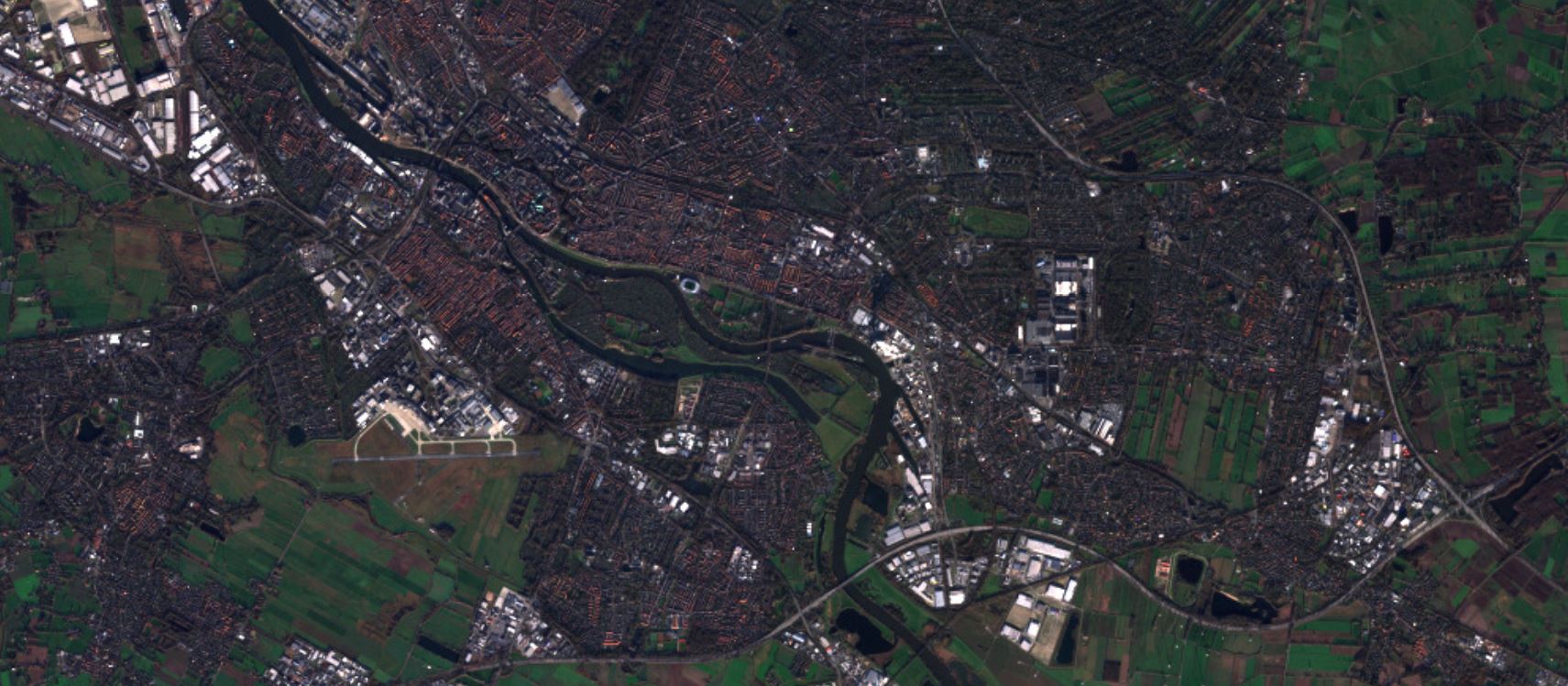
Connecting paths - 20 km
2017
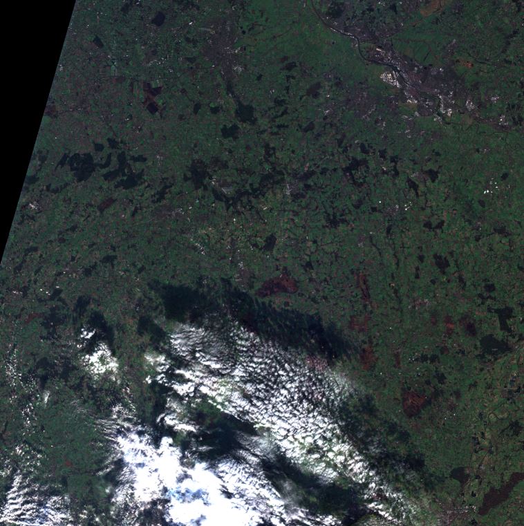
Connecting paths - 20 km
2017